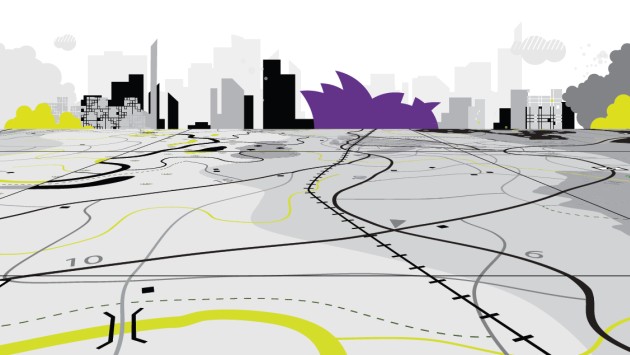
A Geographic Information System (GIS) is software that blends the power of a map with the power of a database to allow people to create, manage and analyse information, particularly information about location.

Mapping data reveals information about locations and populations vital for a range of sectors, across health, education, manufacturing and insurance. GIS means the latest mapping data can be communicated and used most effectively.

  • .NET
  • PHP
  • HTML5

GISSurvey Process


  • We can map the spatial location of real-world features and visualize the spatial relationships among them.

  • People map quantities, such as where the most and least are, to find places that meet their criteria or to see the relationships between places.

  • Sometimes it is more important to map concentrations, or a quantity normalized by area or total number.

  • We can use GIS to determine what is happening or what features are located inside a specific area/region.

  • We can find out what is happening within a set distance of a feature or event by mapping what is nearby using geoprocessing tools like BUFFER.